
Social planning & community services
Identify trends, opportunities and issues to solve within your community.
How Planwisely can help your project
Combined Spatial Datasets
View multiple complex datasets to support your projects.
Catchment Analysis Tool
Understand accessibility and extract demographic reports.
Length of Stay
Discover how long people are staying in a location.
Heatmaps
See where people are congregating or moving through.
Deliver better outcomes today
Planwisely’s rich geospatial library and combination of clever tools and functions make it the perfect platform for:
Social planning strategies
Community strategic plans
Health and wellbeing strategies
Liveability strategies
View multiple complex datasets at once
Create a deep body of evidence to support your project by combining spatial datasets within the one map view.
Bring together demographic and mobility data, traffic counts and more in one place to deliver telling insights that inform your decision-making process.


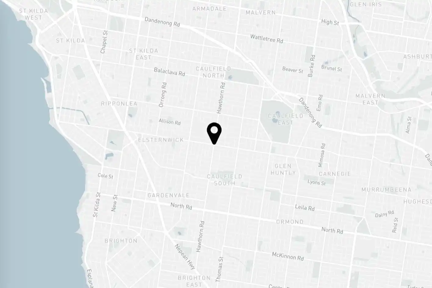
Perform demographic reports within a catchment
Get instant insights into the demography of a specific area and accessibility within it using a catchment analysis.
Define your catchment by mode and time to customise your analysis, then generate demographic reports to uncover even deeper insights into the people that live within the vicinity.

Uncover how long people are staying in specific areas
Get insights into how long people stay when they're in your area and identify the busiest and quietest times of day.
View length of stay and visitation peaks and troughs across the entire day, and filter that data by time of day, weekday or weekend to understand when your public space is performing at its best.

See where people are spending their time
See where people are spending their time in your community or specific area of interest.
Get a close-up look at where people are congregating the most (or the least) and how they're moving through public spaces with granular heat maps of People Movement Data. Plus, you can filter down to time of day and compare quarters to help guide your analysis.


Clients using this feature

Want to get started with Planwisely?
Use powerful geospatial datasets to uncover insights, guide your decision-making process and deliver better outcomes for your project today.