
Placemaking
Design well-rounded places that deliver rich experiences for the people they serve.
How Planwisely can help your project
Heatmaps
See where people are congregating or moving through.
Length of Stay
Discover how long people are staying in a location.
Drawing Tool
Bring your ideas to life with intuitive drawing tools.
Aerial Imagery Integration
View complex spatial data on highly detailed aerial imagery.
Deliver better outcomes today
Planwisely’s rich geospatial library and combination of clever tools and functions make it the perfect platform for:
Placemaking frameworks
Placemaking strategies
Place audits
Master plans
Urban design strategies
Urban design frameworks
Post-implementation analysis
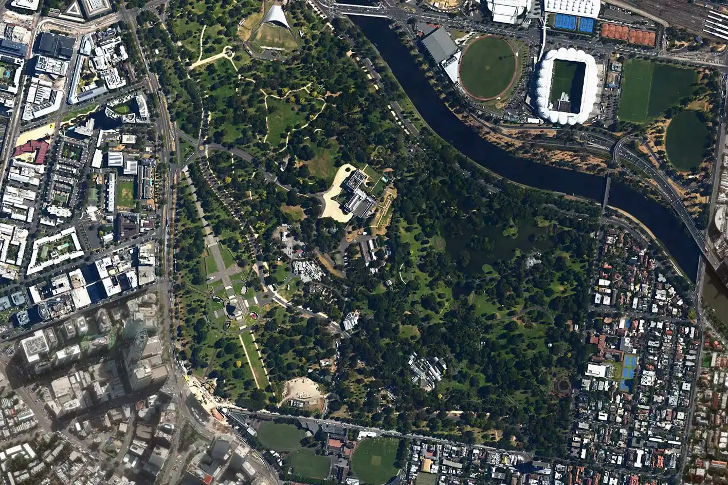
See where people are spending their time
Understand travel activity through your space and where people are spending their time to optimise your Placemaking plans.
Compare visitation of your area to other areas or other periods of time to inform your strategy and demonstrate the unique appeal of your Placemaking project.


Discover what times are the busiest
Get insights into how long people stay when they're visiting your space and identify the busiest and quietest times of day.
View length of stay and visitation peaks and troughs across the entire day, and filter that data by time of day, weekday or weekend to understand when your public space is performing at its best.

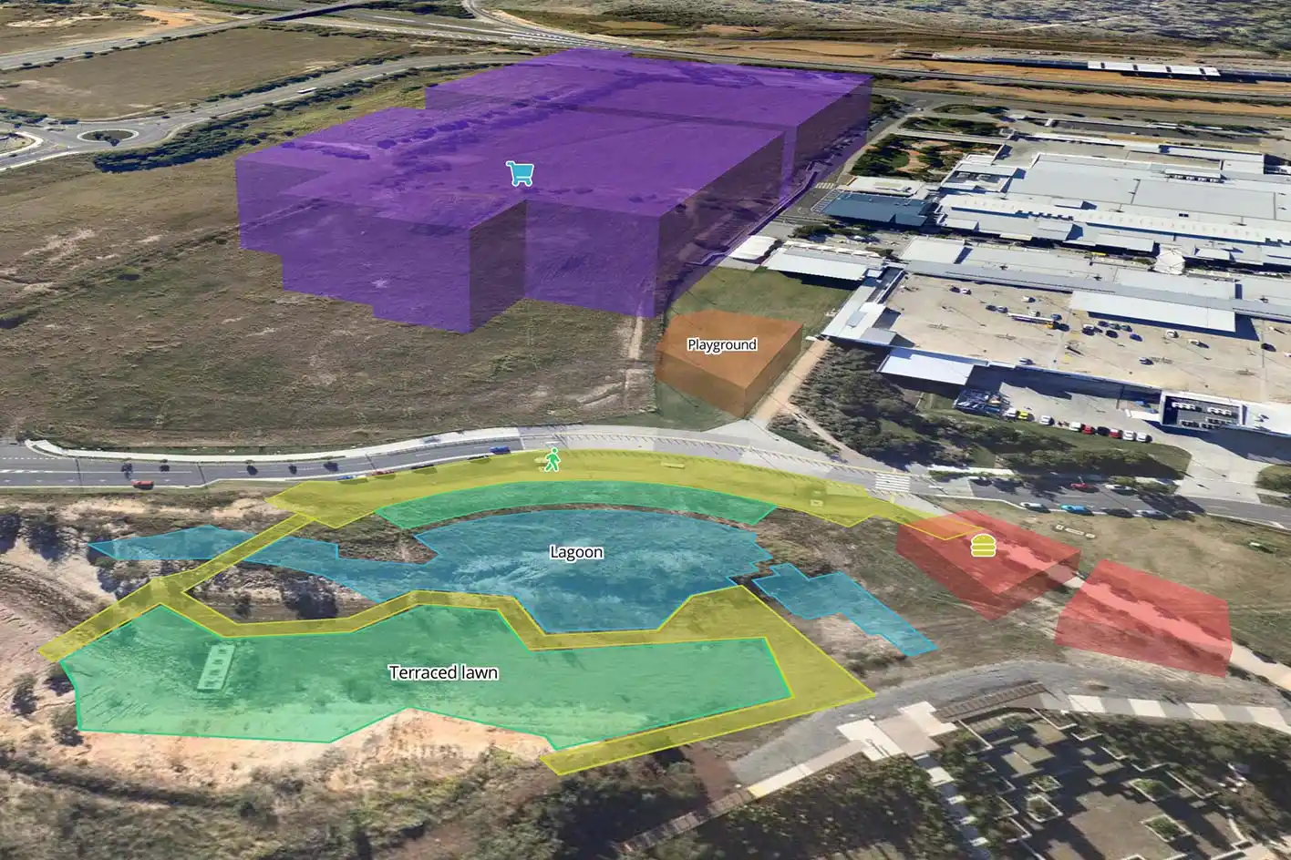
Create a concept plan for your project
Bring your Place Vision or related project to life with intuitive drawing tools.
Create a concept plan for your project by adding shapes (2D or 3D), icons and text to the map, then instantly export it as an image to tell a dynamic story that communicates your vision for the space.

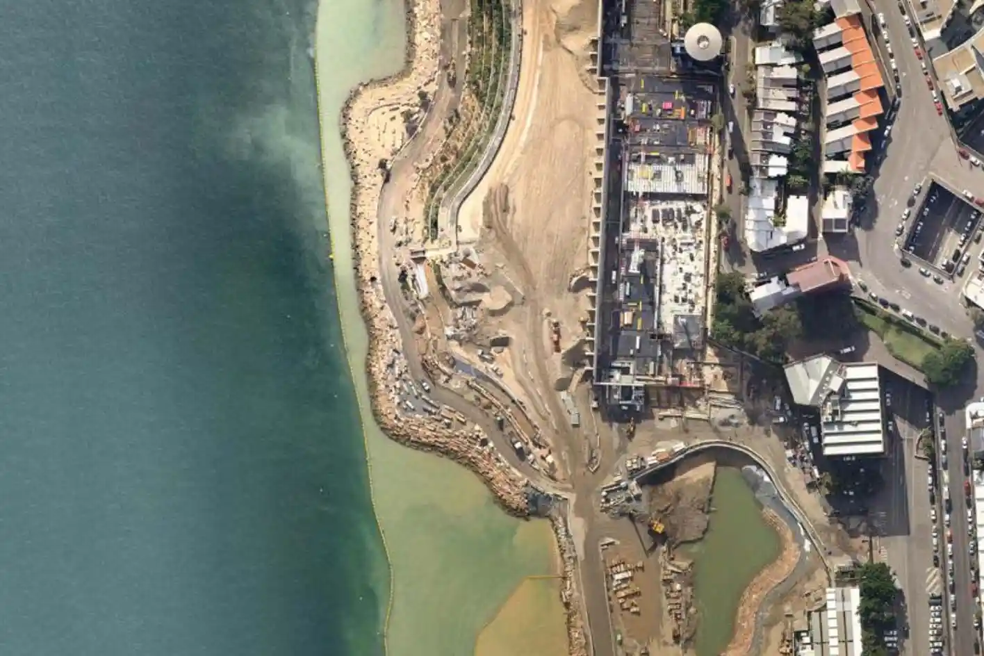
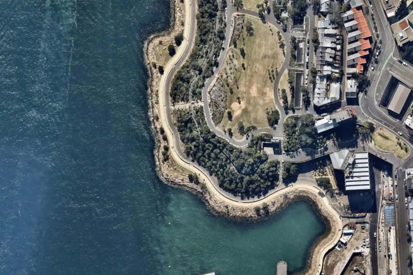
View detailed and timestamped aerial imagery
View complex spatial data on highly detailed Nearmap or Metromap aerial imagery and see how the urban form has changed over time.
Seamlessly integrate your existing subscription into Planwisely so you can plan, visualise and analyse your project using the right map layer for the job at hand.


Clients using this feature

Want to get started with Planwisely?
Use powerful geospatial datasets to uncover insights, guide your decision-making process and deliver better outcomes for your project today.