
GIS
Empower your team members and visualise complex spatial data quickly and easily.
How Planwisely can help your project
Data Integration
Securely integrate your own data into Planwisely.
Combined Spatial Datasets
View multiple complex datasets to support your projects.
Rendering Speed
Quickly and easily visualise data on the map.
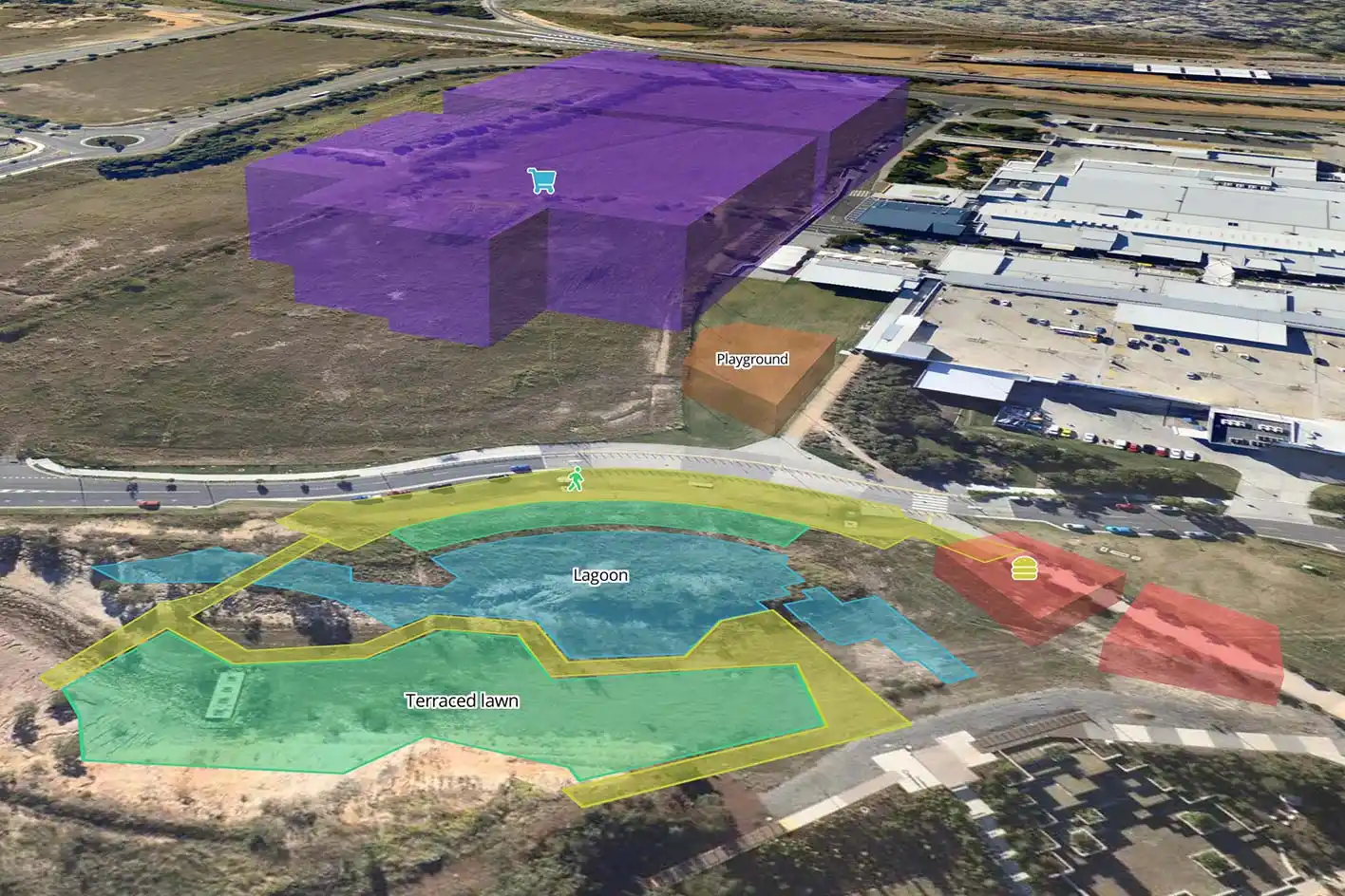
Custom Data Visualisation
Customise the map view for your own project.
Deliver better outcomes today
Planwisely’s rich geospatial library and combination of clever tools and functions make it the perfect platform for:
Map creation
Spatial data management
Data visualisation
Geospatial reporting and analysis
Add your own securely displayed data
Combine Planwisely's datasets with your own to gather more potent insights and display them together on the map.
Plus, they're securely displayed, so you don't need to worry about anyone else having access to your private datasets.


Access innovative datasets in one platform
Offer support to an array of project types within a single platform.
From People Movement Data to demographics, mobility data, land use planning and more, Planwisely visualises numerous and diverse datasets for all kinds of planning projects.


Quickly visualise data on the map
Save time by instantly visualising and exporting complex spatial data within a map view.
Planwisely's speedy rendering capabilities mean loading spatial data and changing views is smooth and simple.
Empower your team members with autonomy
Empower project stakeholders to create and style their own maps for presentations and analysis.
Planwisely's simple user interface and tools for customising the map view - and how data is displayed - makes it easy to create bespoke maps that have a big impact.

Clients using this feature

Want to get started with Planwisely?
Use powerful geospatial datasets to uncover insights, guide your decision-making process and deliver better outcomes for your project today.