
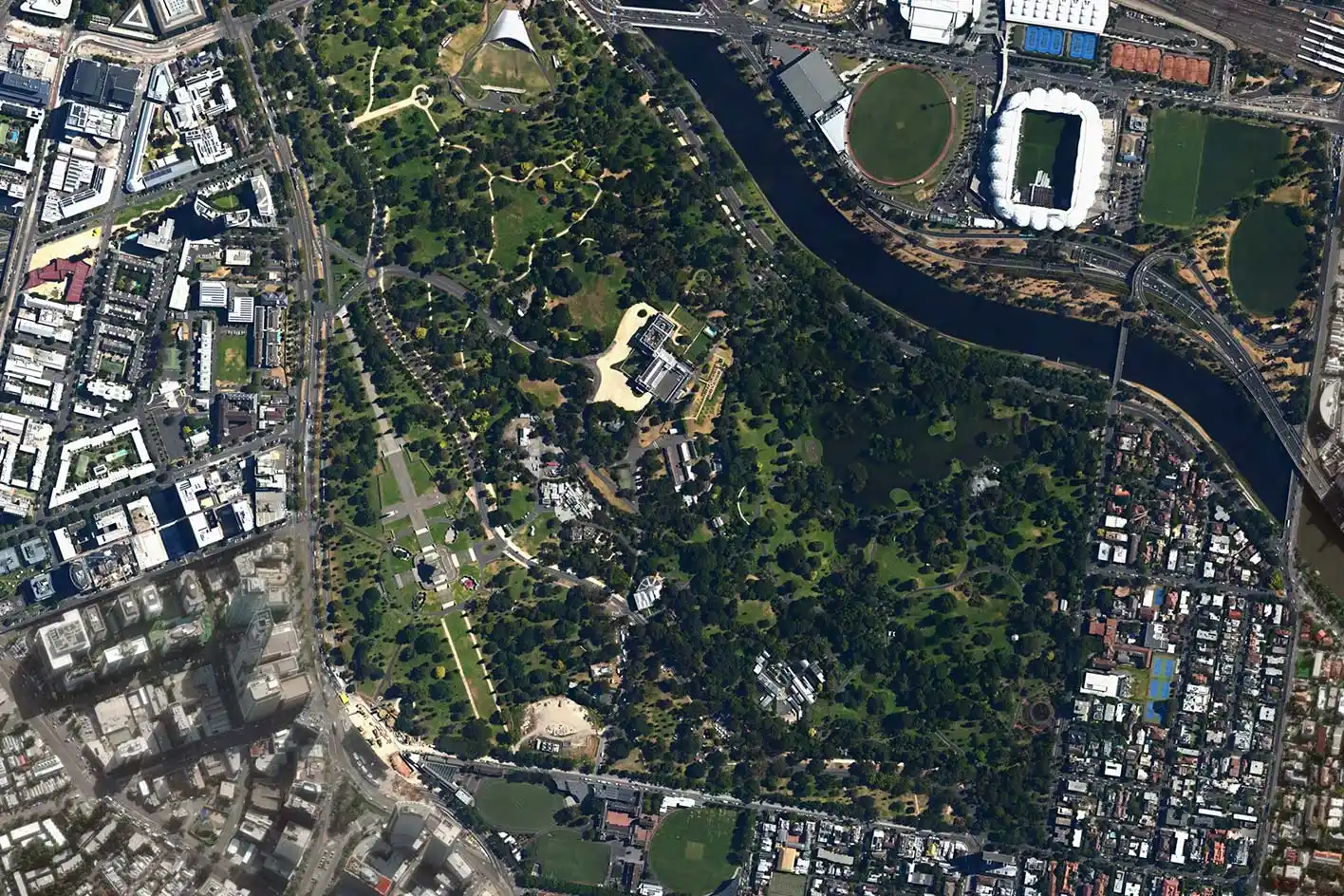
Open spaces & parks planning
Create higher quality open spaces with tailor-made data for planning and analysis to see how they are used and understand their future potential.
How Planwisely can help your project
Heatmaps
See where people are congregating or moving through.
Trips
See where people are travelling to and from.
Length of Stay
Discover how long people are staying in a location.
Catchment Analysis Tool
Understand accessibility and extract demographic reports.
Deliver better outcomes today
Planwisely’s rich geospatial library and combination of clever tools and functions make it the perfect platform for:
Open space strategies
Sport and recreation strategies
Asset management plans
Gap analysis
Post-implementation analysis
See where people spend their time
See where visitors are spending their time in your open space or park.
Get a close-up look at where people are congregating the most (or the least) and how they're moving through public spaces with granular heatmaps of People Movement Data. Plus, you can filter down to time of day and compare quarters to help guide open space planning or post-implementation analysis.


See where people are coming from
Understand visitor travel patterns coming to your open space, right down to a granular meshblock level.
Understand where people are travelling from - from suburbs to a state level - to identify trends and understand how far people are travelling to reach a location. Plus, you can go even deeper by filtering Origin-Destination (OD) data by weekday, weekend or even by time of day.

Know where people are spending their time
Get insights into how long people stay when they're visiting your space and identify the busiest and quietest times of day.
View length of stay and visitation peaks and troughs across the entire day, and filter that data by time of day, weekday or weekend to understand when your public space is performing at its best.

View the potential catchment of your asset
Assess the multi-modal accessibility of your open space asset and who might utilise it with a catchment analysis.
Define your catchment by mode and time to customise your analysis, then generate demographic reports to uncover even deeper insights into the people that live within the vicinity.


Clients using this feature

Want to get started with Planwisely?
Use powerful geospatial datasets to uncover insights, guide your decision-making process and deliver better outcomes for your project today.